
Some rivers begin high up in mountains, where snow collects and melts. Some rivers begins where underground springs bubble up to the surface. All rivers run downhill, carrying fresh water to the sea.
river erosion
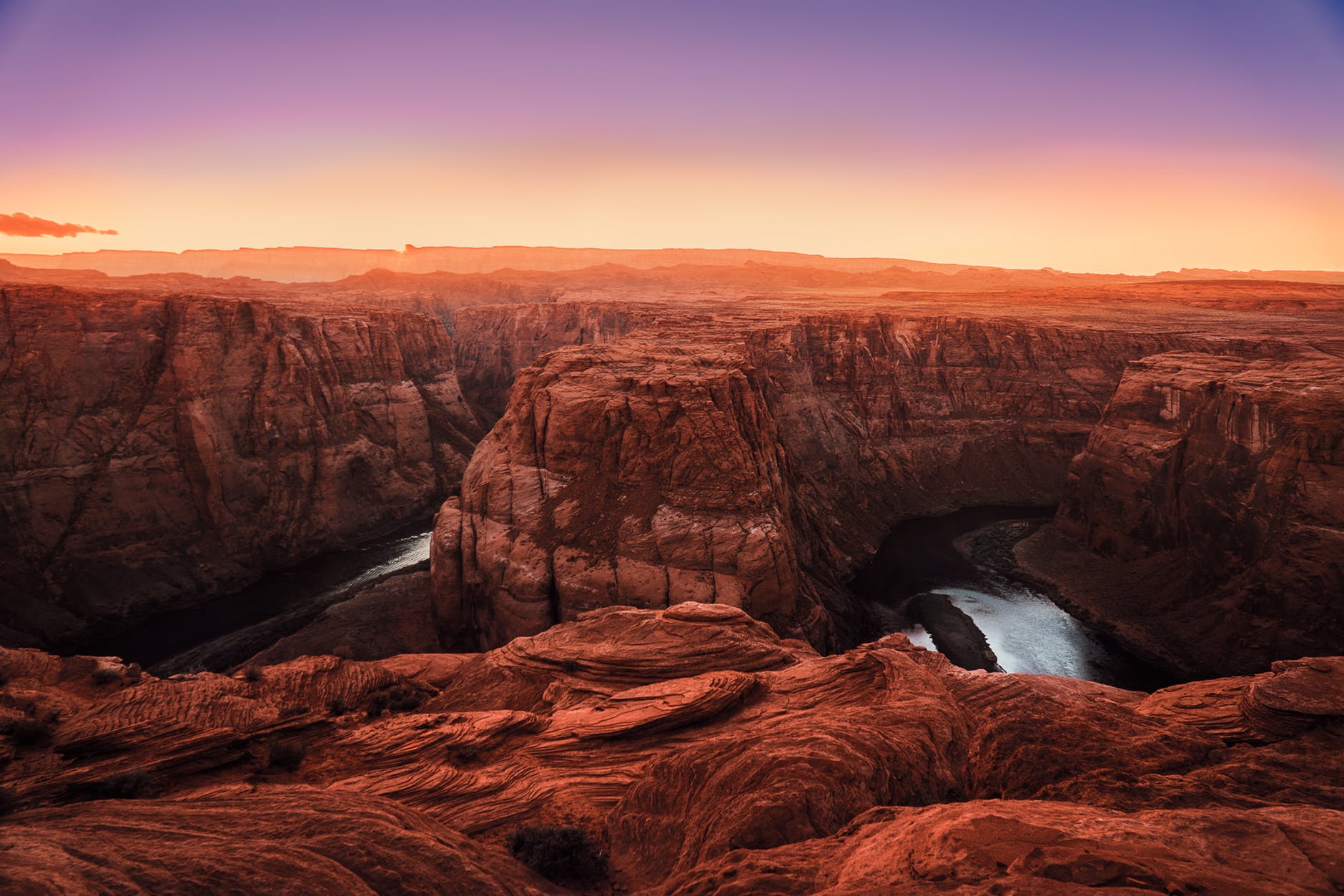
A river gradually erodes the land it crosses. It slowly carves a V-shaped valley as it travels, wearing down rock and earth and carrying the particles in the waters. One of the best examples of a river changing the landscape is the Grand Canyon in the Colorado, USA. It has taken around 17 million years for the Colorado River to carve the canyon from rocks.
Creating new land
A river slows down as it gets nearer to the sea and the ground becomes flatter. When a river slows the particles of earth and rock it is carrying drop to the bottom as sediment, creating mudflats and islands. Sometimes these spread out at the river’s mouth in a wide area called a delta. The Ganges and the Brahmaputra rivers meet in India and Bangladesh to form the world’s largest delta, stretching over an area of 105 000km.
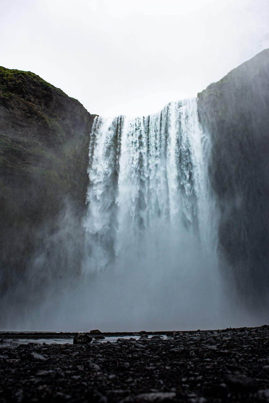
the world’s waterfalls
If a river reaches a very hard band of rock, it will wear down the softer rock on the other side and end up plunging down as a waterfall. The world’s highest waterfall is the Salto Angel Falls in Venezuela, which plunges 807m over a cliff. One of the world’s largest falls is Victoria Falls on the African Zambezi River. Over time the Zambezi has carved out a channel around, 1 007m wide.
FACTS…FACTS…FACTS!!!
Top five rivers in order of length
- Nile River, Africa (6 696km)
- Amazon River, South America (6 400km)
- Yangtze River, Asia (6 240km)
- Mississippi River, North America (6 192km)
- Ob River, Russia (5 534km)